Boating instructor Jon Mendez explains why pilotage skills are still essential and how you can use them to enter any harbour without needing the help of your chartplotter.
Some people consider pilotage a dying art. Ashore you can simply pop your destination into your car’s sat nav and off you go without a clue as to how it’s getting you there. So long as you arrive at the correct door, it’s fine. The latest generation of chartplotters are heading that way too.
However, there is one key difference which means I can’t see it happening too quickly; there are no roads to follow, you’re either afloat or aground, possibly on rocks. So, for me pilotage – the process of using land or sea marks to navigate your way into a port
or harbour – is still an essential skill to have with a long future ahead of it.
The chartplotter is a wonderful aid in getting all that correct but the pre-planning is still essential. Any pilotage exercise comes at the end of a passage, once you have arrived at your chosen waypoint (be it a navigation mark, headland or other identifiable feature) and you switch from passage making mode to a more localised pilotage exercise.
Article continues below…

How to set up your chartplotter and be sure you’re using it properly

How to: Plot a route on paper charts and a chartplotter for a safe journey
Then your chosen route will use significant features, either natural or man-made, to guide you in. I like to start with a chart and plot my intended route with waypoints. Then I draw the outline plan on a piece of paper. This allows me to visualise the essential points of the plan in my head in easy to follow steps.
There is no right or wrong way of doing this, just the style of plan that works best for you. This could be a hand-drawn picture, a list of steps or simply a written plan. The crucial thing is that it must be clear and easy to refer to. I also like to add the light characteristics of any navigation marks I have chosen so the plan can be used at dusk or night time as well.
Do double check in the almanac and pilotage books carefully as some harbours have differing approach routes in the dark due to some marks not being lit. Then enter your plan into the chartplotter as well. This will allow you to reference what you are seeing through the windscreen with your handwritten plan and the chartplotter before deciding whether it’s safe to proceed.
I find that a hand bearing compass is an essential bit of kit, not only for identifying the marks you are searching for by looking along the correct bearing, but also for identifying the next one before you get to the turning point, so the pilotage becomes a smooth exercise of precision.
This also allows you to stop at any point on the route to identify your next mark before leaving the safety of the one you have already identified correctly. Even the MCA have got in on the act and now have a mantra that is driven into every new cadet and captain.
They call it APEM – Appraise, Plan, Execute, Monitor, plus they also like to talk about ‘berth to berth’ planning. Personally, I still like: Pilotage to leave, Passage in the middle and Pilotage to arrive, which seems more apt on smaller boats where the passage can be influenced by so many different factors.
Essential pilotage skills
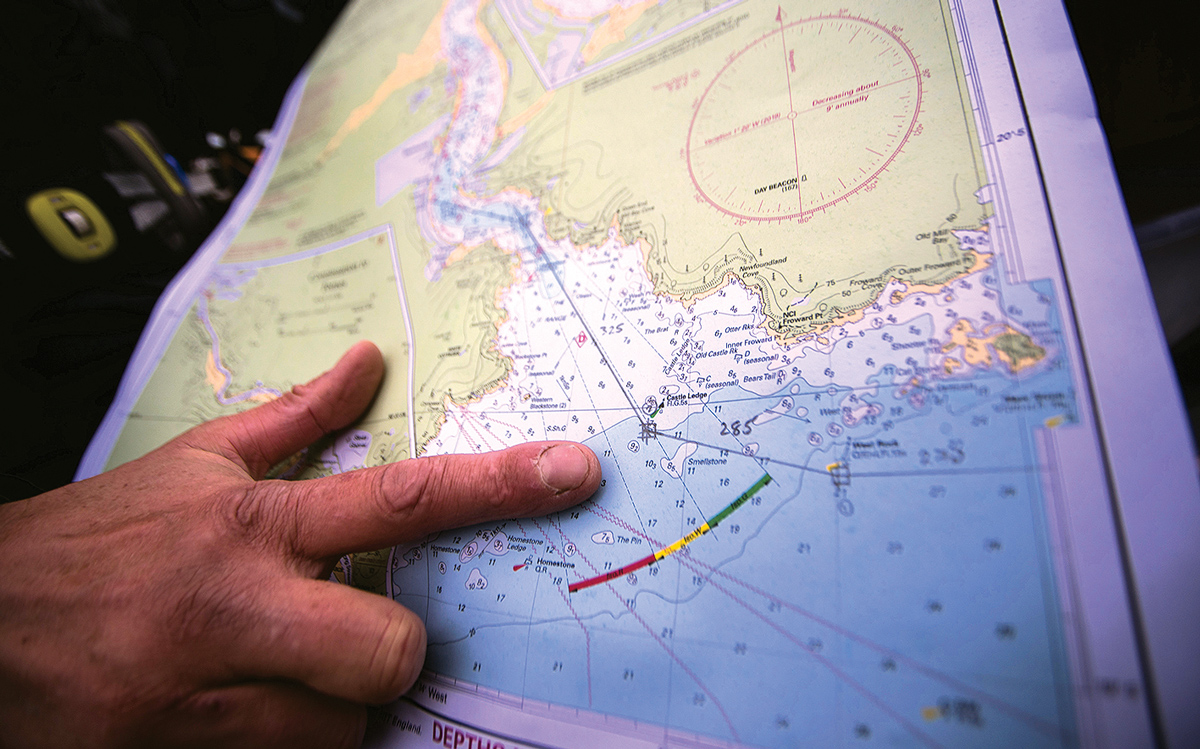
1. Mark up the chart: Using a printed chart of the area, add your intended waypoints in pencil with the correct bearings between them. This forms the basis for your simplified pilotage plan containing the key information you need to keep you on track.
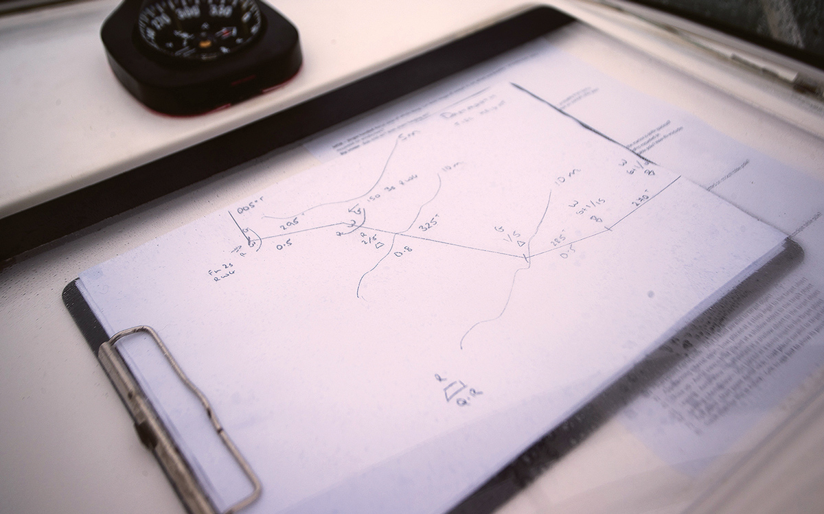
2. Draw up a pilotage plan: I like to hand draw my pilotage plan. This allows me to simplify the chart so that it contains only the key information I need (bearings, nav marks, lights, depth contours etc) and how I am going to use them to keep me on my intended track into the port.

3. Enter waypoints in your plotter: You can now follow the waypoints on the plotter while using your hand-drawn pilotage chart to cross reference. Relying solely on the plotter means you might spot errors too late.
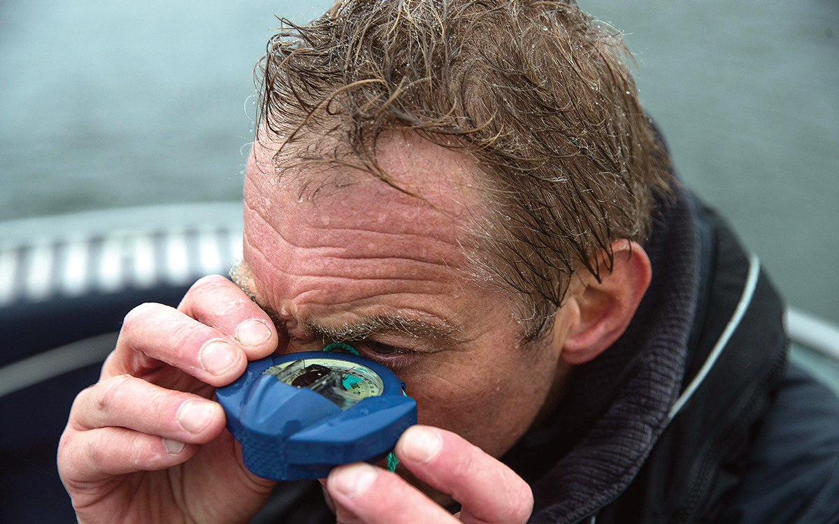
4. Take regular bearings: My favourite item afloat, a hand bearing compass. Use this to check that the nav mark you are looking at is on the correct bearing and to help find the next mark before you need it.
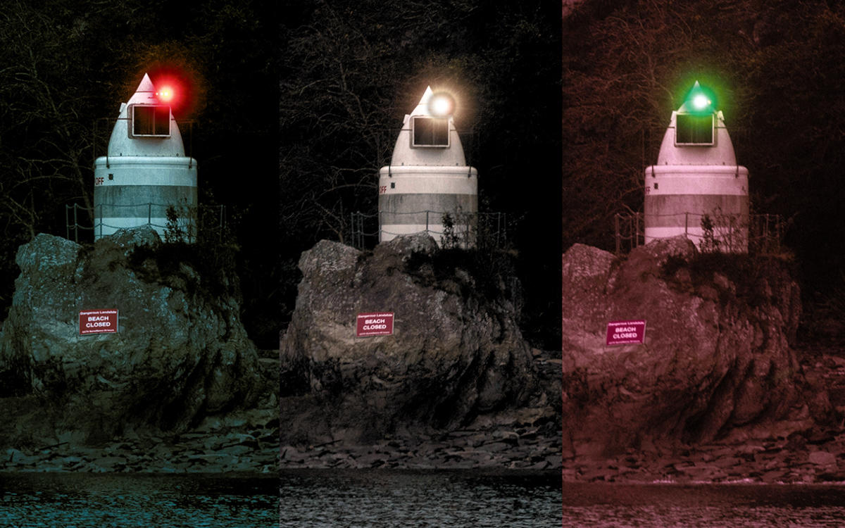
5. Use navigation aids: Sectored lights are useful aids at night in a pilotage situation. If it’s red you are too far to port, if it’s white you are on the right heading and if it’s green you are too far to starboard.
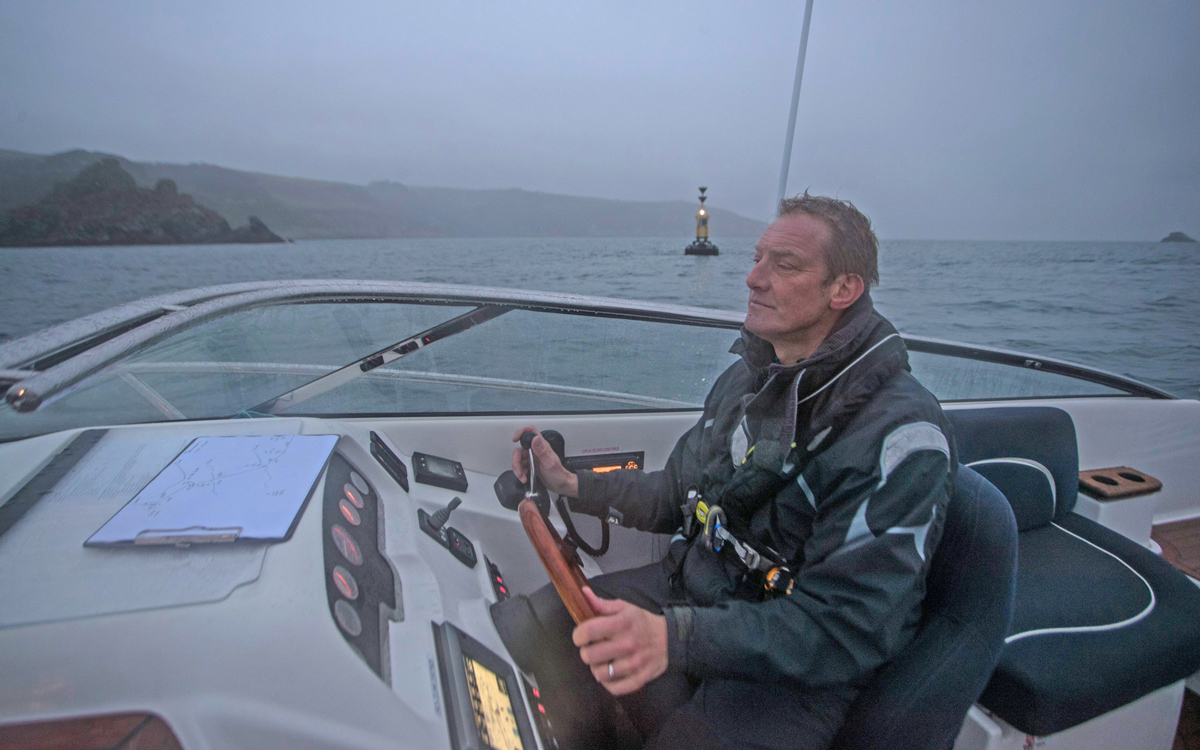
6. Mark up light characteristics: It’s good to add the light characteristics of navigation marks to your plan, even if you intend to arrive in daylight. If you get delayed for any reason you will have all the info to hand.
Our How To video series is brought to you in association with GJW Direct.


